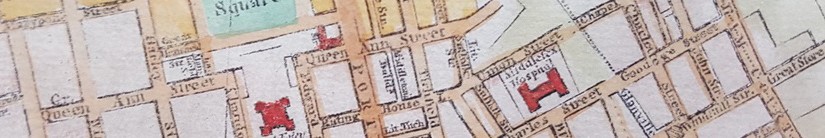
Here are a selection of historic maps which feature Middleton Buildings. The exception being the first, the famous John Rocque map of 1746, which predates the construction of the Buildings and shows the site as a field.
(Click on any map to see an detailed view.)


(published 1767, plan from 1757)

(a history of map)

Cities of London & Westminster

